AERIAL IMAGING, SURVEYING, PHOTOGRAMMETRY
FAA Certified Remote Pilots
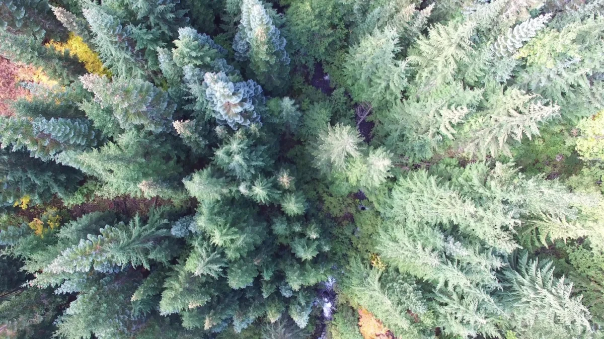
Our aerial images, taken by a gimbal-mounted camera on a quadcopter platform are 16mp stills and 4K resolution video, the highest video resolution available and the industry-standard for videography. A microprocessor-controlled gimbal eliminates vibration, blurring, and shaking effects of the camera during flights, resulting in exceptionally clear, crisp, and sharp images.

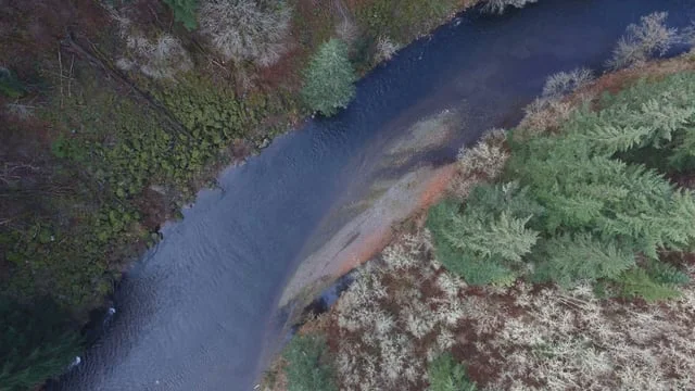
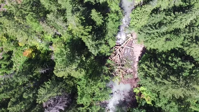
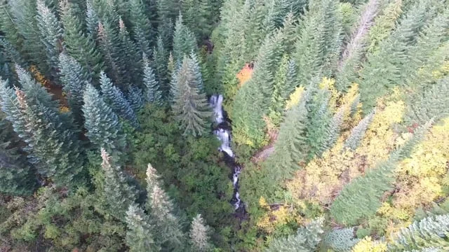
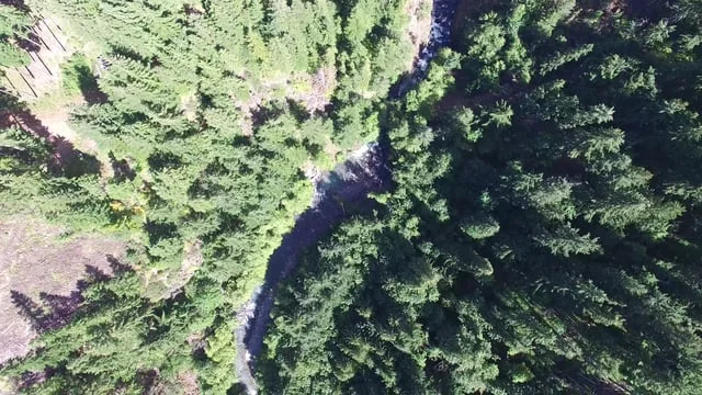
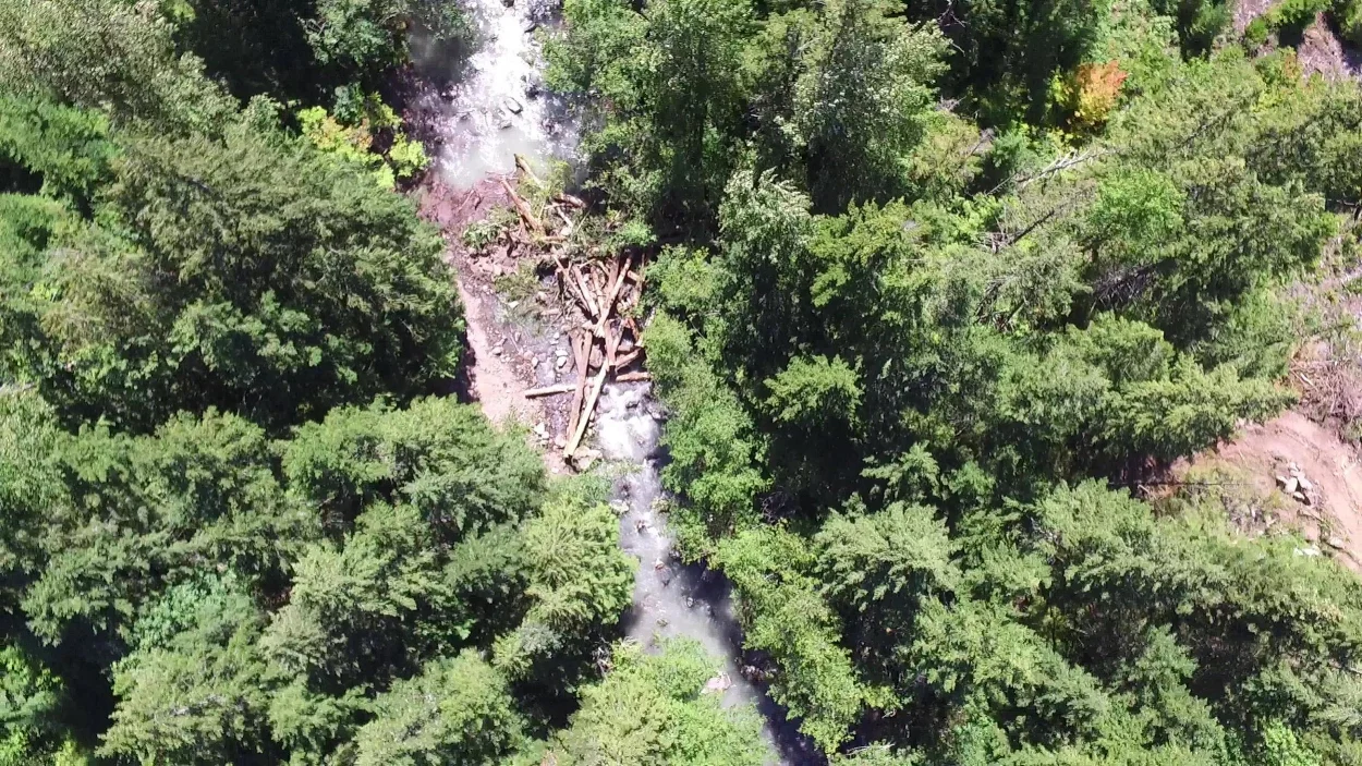
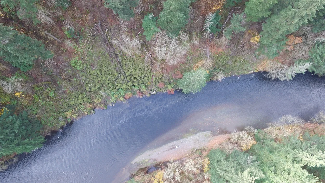
Our aerial surveys provide time-specific information for monitoring and evaluation of projects and simple solutions to complex low-altitude flight tasks such as 2D & 3D visual examinations of rivers and stream channels, forest inventory and vegetation stand analysis, stream restoration, glaciers, geology, flooding effects, and forest fires.
Operating at a fraction of the cost of manned helicopter/fixed-wing flights, the use of small, un-manned aerial systems (sUAS) for surveying and monitoring is revolutionizing the industry for delivery of low-cost, time sensitive, low-altitude, aerial imagery.
Small unmanned aerial systems are safer, cheaper, and simpler to operate, and can fly lower, slower, and hover longer than traditional manned aircraft. The slow speeds of sUAS provide exceptional image quality for easier analysis and processing of project parameters/outcomes.
Our pilots are U.S. Federal Aviation Administration (FAA) Certified Remote Pilots with a Small Unmanned Aerial System (sUAS) Rating, and are strictly regulated by FAA flight rules and restrictions.
Our camera-mounted quadcopters are registered with the FAA.
View Videos of some of our work below. For best viewing quality, click on the "HD" button on the control bar at bottom and select 720p.